
search
How to assess a candidate site and prepare design plans for a self-sustaining constructed wetland within a stormwater management facility in Alberta.
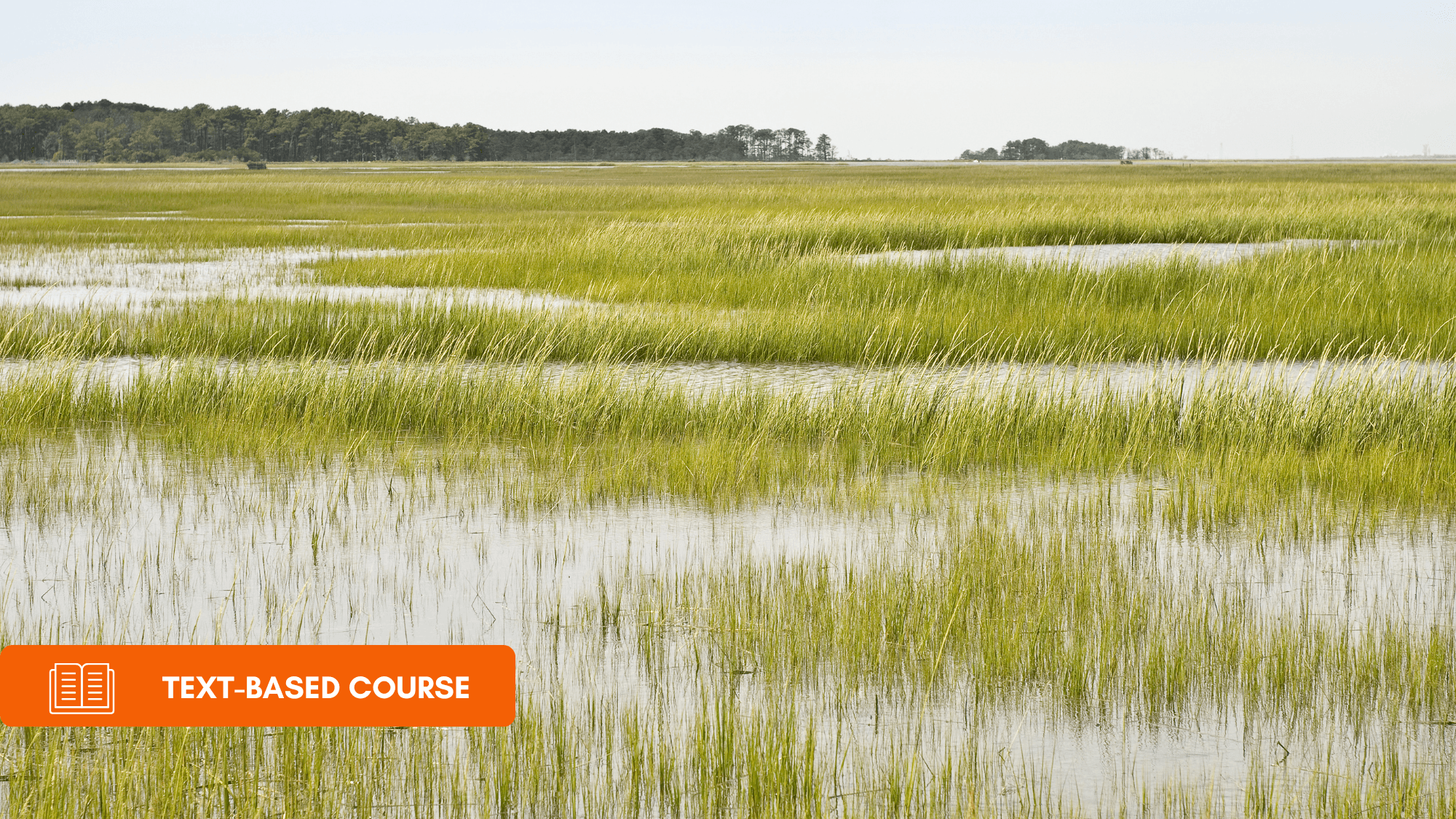
Constructed stormwater facility wetlands (CSFWs) can offset unavoidable wetland loss under the provincial wetland mitigation hierarchy while providing water storage, water quality improvement, wildlife habitat and social value. This course introduces the stages of a CSFW project and the roles of engineers and scientists on the project team, then works through the site assessment needed to decide whether a site can support a healthy marsh or shallow open water wetland. Topics include existing topography and catchment area, slopes, water sources, drainage patterns, inlet and outlet constraints, a pre-development water balance that accounts for precipitation, runoff, groundwater, outflow and evaporative losses, soil properties and suitability ratings, locally sourced plant material, habitat connectivity, weedy and invasive species, and baseline water quality including total suspended solids (TSS) and nutrients.
The second half of the course turns to design plans and the performance measures that guide them. It covers basin shape, a minimum 3:1 length to width ratio, the shoreline development index (SDI), deeper pools, water depths and slopes for wet meadow, emergent and upland plant zones, forebays, substrate, soil amendments, salinity, soil placement depths and erosion design. Hydrologic design addresses hydroperiod and plant tolerance to flooding, inlet and outlet placement, control structures and emergency overflow. The course closes with plant community targets such as vegetation to open water ratio and species diversity, emergent and wet meadow zone design, upland buffers, wildlife habitat features and human use features, along with the drawings a design package should contain.
What Will Be Covered:
The wetland mitigation hierarchy, the stages of a CSFW project and the roles of engineers and scientists
Site assessment of topography, catchment area, slopes, drainage patterns and inlet and outlet constraints
Pre-development water balance, including surface water, snowmelt, groundwater, outflow and evapotranspiration
Soil assessment, soil suitability ratings, bulk density, salinity, sodicity and rooting zone depth
Biological assessment of donor plant material, habitat connectivity, riparian setbacks and invasive species
Baseline water quality, sediment loading and TSS guidelines for regular and high flow events
Physical design: length to width ratio, shoreline development index, deeper pools, depths, slopes and forebays
Substrate, soil amendments, soil placement depths and erosion and sedimentation design
Hydrologic design: hydroperiod, plant flood tolerance, inlets and outlets, control structures and overflow provisions
Plant community, upland buffer, wildlife habitat and human use design targets and required drawings

Professional online education for engineers and technical professionals
Engineering Education Group provides online professional development and continuing education courses for engineers, technical professionals, and industry practitioners. Our programs focus on practical skills, technical knowledge, industry standards, and lifelong learning through flexible and accessible online education.