by learnformula
search
For Business
Team license & compliance management
For Higher Education
Academic partnerships
For Government Agencies
Government training solutions
For Instructors & Course Creators
Teach on our marketplace
Become a Sponsor
Reach professionals where they learn
Log inStart 7-Day Free TrialStart Free TrialStart Free Trial
search
Courses/Engineering/Geotechnical Engineering

Earth Observation Techniques for Geohazard Risk

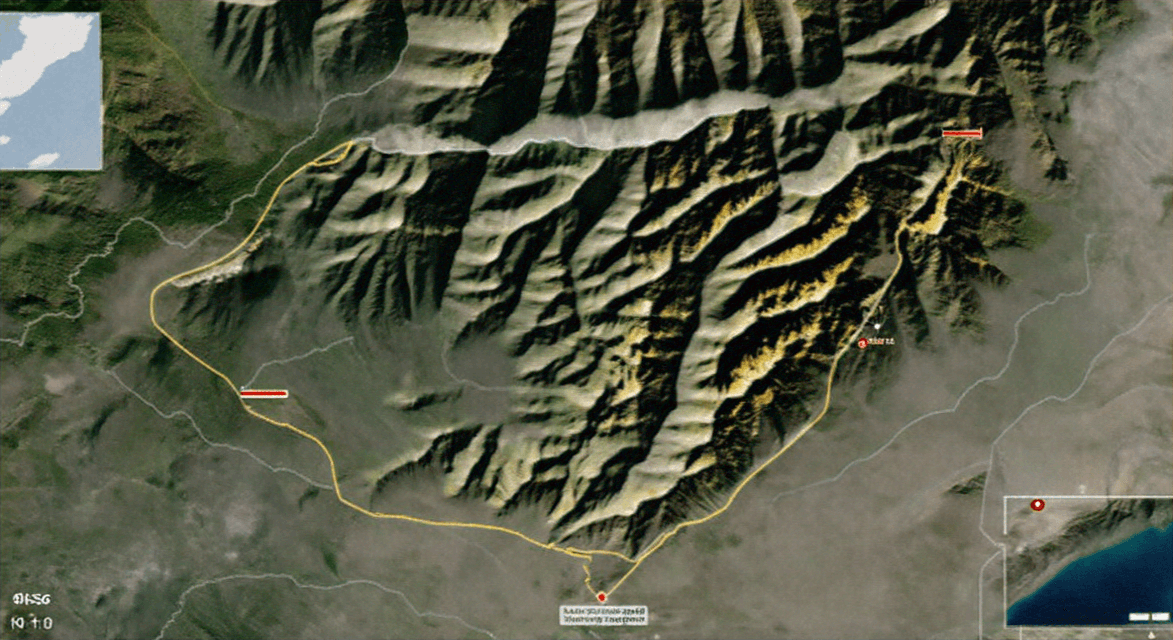
Apply advanced remote sensing and SAR techniques to monitor, assess, and mitigate geohazards with precision and reliability.
Created byGlobal Engineering Excellence Institute
BeginnerUpdated Jun 25, 2024
Earth Observation Techniques for Geohazard Risk

What You'll Learn

check_circleUnderstand the principles and applications of remote sensing technologies in geohazard monitoring.
check_circleApply SAR interferometry and tomography techniques to detect and measure ground deformations.
check_circleUtilize multi-temporal InSAR methods for continuous monitoring of surface deformations.
check_circleAnalyze case studies to gain practical insights into the application of remote sensing in geohazard assessment.
check_circleIntegrate multi-source remote sensing data with ground-based observations for comprehensive geohazard monitoring.

About This Course

The Geohazard Monitoring with Earth Observation course provides an in-depth exploration of advanced earth observation techniques for monitoring and assessing geohazards such as landslides, subsidence, and glacier movements. This course is essential for professionals and researchers in geosciences, environmental monitoring, and disaster management. Key topics include:

  • Introduction to Remote Sensing: Fundamentals of remote sensing technologies and their applications in geohazard monitoring.
  • Synthetic Aperture Radar (SAR) Techniques: Understanding SAR interferometry, tomography, and offset tracking for detecting and measuring ground deformation.
  • Multi-Temporal InSAR (MT-InSAR): Techniques for continuous monitoring of surface deformations with millimetre accuracy.
  • Case Studies: Analysis of real-world applications including monitoring of glaciers, landslides, and subsidence in various regions.
  • Data Integration and Analysis: Combining multi-source remote sensing data with ground-based observations for comprehensive geohazard assessment.

By the end of this course, participants will have the skills to apply advanced remote sensing techniques to monitor geohazards effectively and contribute to disaster prevention and risk management efforts.

Your Instructors

Global Engineering Excellence Institute

Leading Global Provider of Cutting-Edge Engineering CPD Courses

menu_book95 courses
star4,203 reviews

The Global Engineering Excellence Institute (GEEI) is a leading provider of Continuing Professional Development (CPD) courses designed to meet the evolving needs of engineers worldwide. Established in 2010, GEEI has a proven track record of delivering high-quality, industry-relevant training that empowers engineering professionals to stay at the forefront of technological advancements and best practices. Our comprehensive course offerings cover a wide range of disciplines, including civil, mechanical, electrical, and software engineering, ensuring that our learners receive the most up-to-date and practical knowledge. With a focus on practical application, GEEI's courses are developed by industry experts and are recognized by leading engineering bodies globally. We are committed to fostering a culture of continuous learning and professional growth, helping engineers achieve their career goals and contribute to the advancement of the engineering profession.

Dr. Joaquim  J. Sousa
Dr. Joaquim J. Sousa

Professor of Geosciences

Dr. Joaquim J. Sousa is a Professor of Geosciences with expertise in remote sensing and geohazard monitoring. He has over 20 years of experience in earth observation techniques and has led numerous international research projects. Dr. Sousa holds a Ph.D. in Geosciences from the University of Porto and is an active member of the European Space Agency’s Dragon Program.

Credit Information

What Students Are Saying

4.5
Student's Choice
21 reviews

Frequently Asked Questions

We are a registered provider with 300+ associations and regulatory bodies worldwide. We operate across 27 global markets including Canada, the US, Australia, and the UK. Every course page clearly displays its specific accreditations. Upon completion, you receive a professional certificate that can be validated online. Our certificates include all necessary accreditation details, credit hours, and completion dates, and are formatted specifically to meet the submission requirements of most global regulatory bodies.

You May Also Like

Engineering: Engineering Management

AI Management Systems for Engineering Organisations

star5.0(10)
1 CPD hr
Engineering: Laws & Rules

Canadian Construction Contracts

star4.9(9)
1.5 CPD hrs
Engineering: Engineering Ethics

Engineering Ethics-Case Studies in Theft through Fraud

star4.8(29)
1 CPD hr